Bayswater
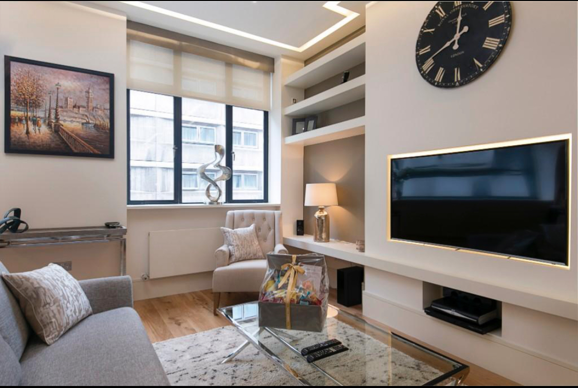
Bayswater is an area within the City of Westminster in West London.[1] It is a built-up district with a population density of 17,500 per square kilometre, and is located between Kensington Gardens to the south, Paddington to the north-east, and Notting Hill to the west. Much of Bayswater was built in the 1800s, and consists of streets and garden squares lined with Victorian stucco terraces; some of which have been subdivided into flats. Other key developments include the Grade II listed 650-flat Hallfield Estate, designed by Sir Denys Lasdun, and Queensway and Westbourne Grove, its busiest high streets, with a mix of independent, boutique and chain retailers and restaurants.
Paddington
Paddington is an area in the City of Westminster, in central London, England.[1] A medieval parish then a metropolitan borough, it was integrated with Westminster and Greater London in 1965. Paddington station, designed by the engineer Isambard Kingdom Brunel opened in 1847. It is also the site of St Mary's Hospital and the former Paddington Green Police Station. The earliest extant references to Padington (or "Padintun", as in the Saxon Chartularies, 959[2]), historically a part of Middlesex, appear in documentation of purported tenth-century land grants to the monks of Westminster by Edgar the Peaceful as confirmed by Archbishop Dunstan. However, the documents' provenance is much later and likely to have been forged after the 1066 Norman conquest. There is no mention of the place (or Westbourne or Knightsbridge) in the Domesday Book of 1086.[3]

Marylebone
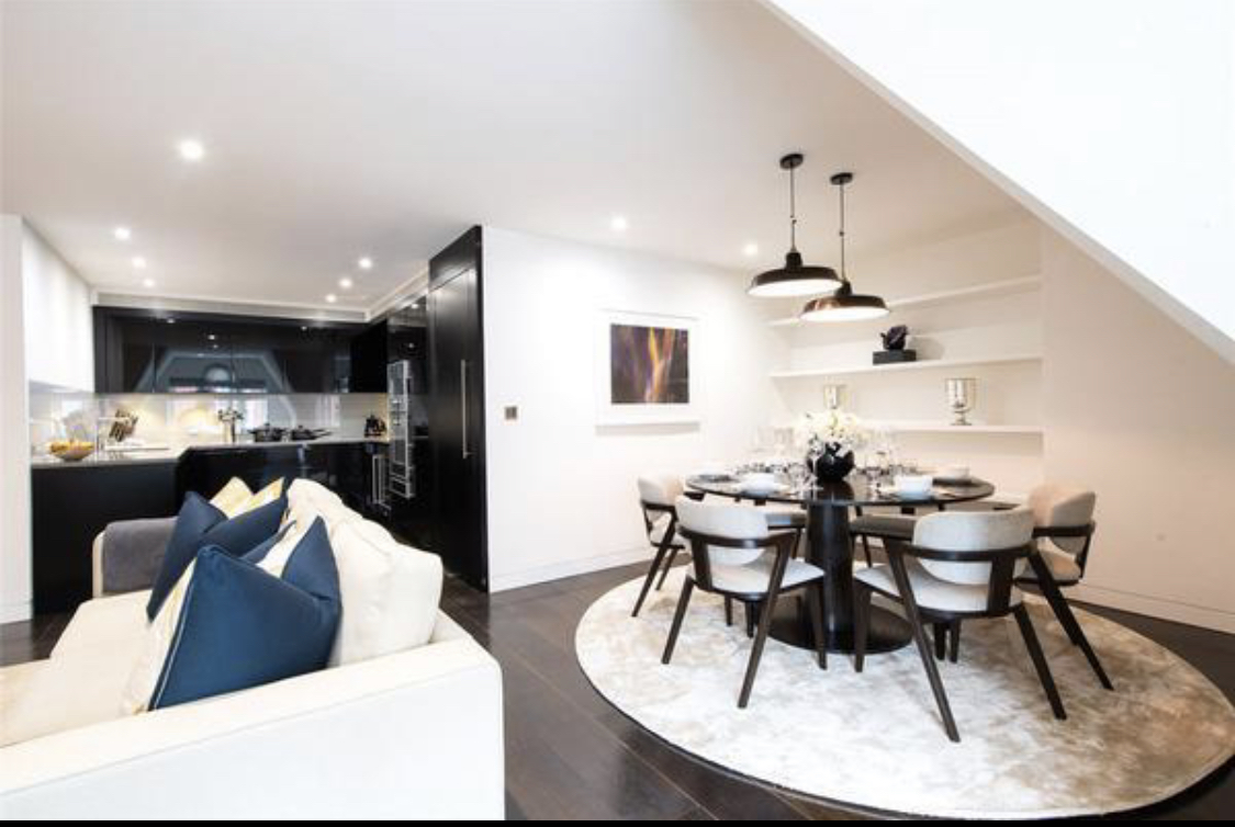
Marylebone is a district in the West End of London, in the City of Westminster. Oxford Street, Europe's busiest shopping street, forms its southern boundary. An ancient parish and latterly a metropolitan borough, it merged with the boroughs of Westminster and Paddington to form the new City of Westminster in 1965. Marylebone station lies two miles north-west of Charing Cross. Marylebone was originally an Ancient Parish formed to serve the manors (landholdings) of Lileston (in the west, which gives its name to modern Lisson Grove) and Tyburn in the east. The parish is likely to have been in place since at least the twelfth century and will have used the boundaries of the pre-existing manors. The boundaries of the parish were consistent from the late twelfth century to the creation of the Metropolitan Borough which succeeded it.
Mayfair
Mayfair is an affluent area in the West End of London towards the eastern edge of Hyde Park, in the City of Westminster, between Oxford Street, Regent Street, Piccadilly and Park Lane. It is one of the most expensive districts in the world.[1] The area was originally part of the manor of Eia and remained largely rural until the early 18th century. It became well known for the annual "May Fair" that took place from 1686 to 1764 in what is now Shepherd Market. Over the years, the fair grew increasingly downmarket and unpleasant, and it became a public nuisance. The Grosvenor family (who became Dukes of Westminster) acquired the land through marriage and began to develop it under the direction of Thomas Barlow. The work included Hanover Square, Berkeley Square and Grosvenor Square, which were surrounded by high-quality houses, and St George's Hanover Square Church.


Soho
Soho is an area of the City of Westminster, part of the West End of London. Originally a fashionable district for the aristocracy, it has been one of the main entertainment districts in the capital since the 19th century. The area was developed from farmland by Henry VIII in 1536, when it became a royal park. It became a parish in its own right in the late 17th century, when buildings started to be developed for the upper class, including the laying out of Soho Square in the 1680s. St Anne's Church was established during the late 17th century, and remains a significant local landmark; other churches are the Church of Our Lady of the Assumption and St Gregory and St Patrick's Church in Soho Square. The aristocracy had mostly moved away by the mid-19th century, when Soho was particularly badly hit by an outbreak of cholera in 1854.
South Kensington
South Kensington, is a district just west of Central London in the Royal Borough of Kensington and Chelsea. Historically it settled on part of the scattered Middlesex village of Brompton.[1] Its name was supplanted with the advent of the railways in the late 19th century and the opening (and shutting) and naming of local tube stations.[2] The area has many museums and cultural landmarks with a high number of visitors, such as the Natural History Museum, the Science Museum and the Victoria and Albert Museum. Adjacent affluent centres such as Knightsbridge, Chelsea and Kensington, have been considered as some of the most exclusive real estate in the world.
Gloucester Road
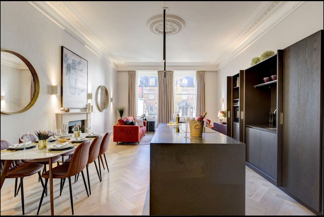
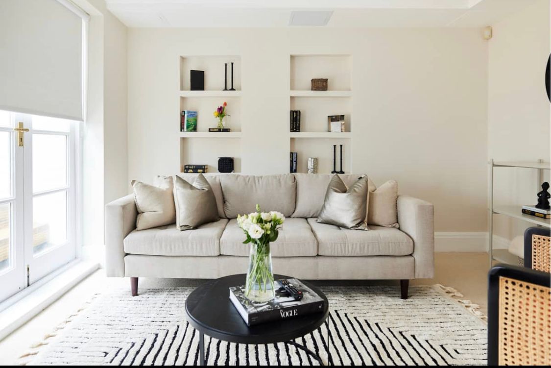
The road is named after Maria, Duchess of Gloucester and Edinburgh who had a new house, Gloucester Lodge, built there by 1805. The road was earlier called Hog Moore Lane (1612), that is 'lane through marshy ground where hogs are kept', a name that was still used until about 1850. Gloucester Lodge was built by William Tyler, on the site of the former Florida Gardens, which the Duchess had acquired in 1797. The site is opposite the present day tube station. The Duchess, who had been widowed in 1805, lived at Gloucester Lodge with her unmarried daughter, Princess Sophia. The Duchess died in 1807. By 1809, Princess Sophia had sold Gloucester Lodge to George Canning. It later became known as Canning Villa. The house was demolished in about 1851.
Knightsbridge
Knightsbridge was a hamlet located primarily in the parish of St Margaret (detached) and partly in St Martin in the Fields (the part that later became St George Hanover Square). It also extended into the parishes of Kensington and Chelsea. It was therefore divided between local authorities from a very early time.[6] In the time of Edward I, the manor of Knightsbridge appertained to the abbey of Westminster.[7] It was named after a crossing of the River Westbourne, which is now an underground river. It is recorded that the citizens of London met Matilda of England at the Knight's Bridge in 1141.

Chelsea
Chelsea is an affluent area in West London, England, due south-west of Charing Cross by approximately 2.5 miles. It lies on the north bank of the River Thames and for postal purposes is part of the south-western postal area. Chelsea historically formed a manor and parish in the Ossulstone hundred of Middlesex, which became the Metropolitan Borough of Chelsea in 1900. It merged with the Metropolitan Borough of Kensington, forming the Royal Borough of Kensington and Chelsea upon the creation of Greater London in 1965. The exclusivity of Chelsea as a result of its high property prices historically resulted in the coining of the term "Sloane Ranger" in the 1970s to describe some of its residents, and some of those of nearby areas. Chelsea is home to one of the largest communities of Americans living outside the United States, with 6.53% of Chelsea residents having been born in the U.S.